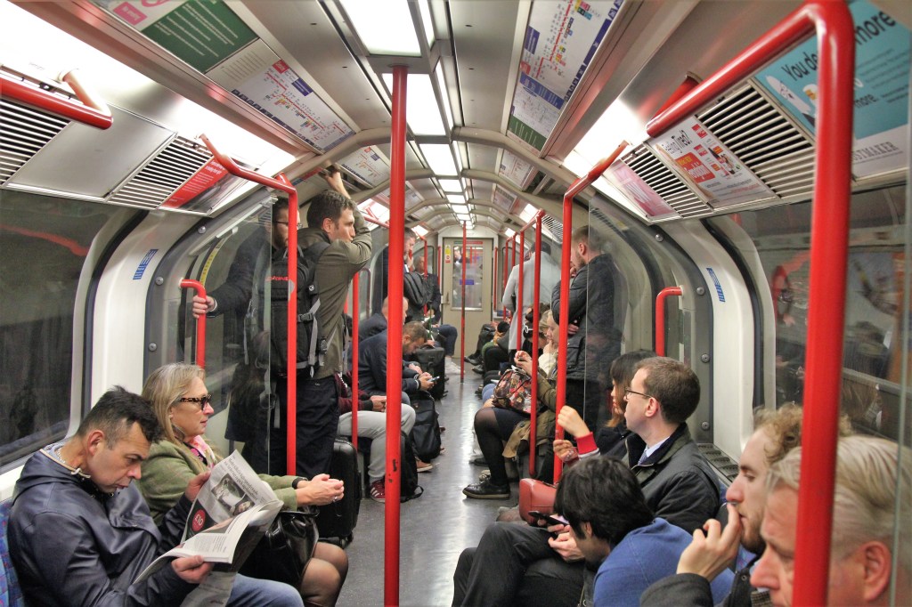
Most major European cities have excellent public transportation. They have to, given their population density and street congestion, plus most subways are clean, run on time and are very safe. So, don’t be afraid of public transportation in Europe.
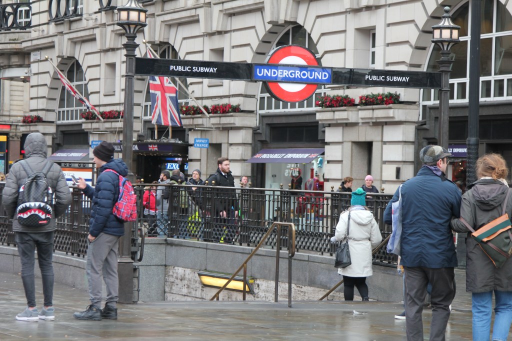
Using the Metro/Subway/Tube/Underground
For those cities with a good subway system this is likely the fastest, least expensive method of travel. If you live in NYC, Chicago, Boston or Washington DC riding the metro is likely second nature. However, if you don’t live in a major metropolitan city in the US you may not familiar with using a metro. Spend some time learning how to navigate the system.
Typically, you look for two things to start with, where you are and where you want to travel to. Then, using a subway map (foldable, at the subway station or on phone) locate both locations. Understand too if the locations are on the same line or if you need to switch trains via a connecting station. Once you have determined how many lines and the connecting locations you need to achieve reaching the destination you then need to understand which platforms you need to access the train. Generally, most trains are named for the last station in the direction of subway travel. With this information you should be able to access the right subway on the right platform. Let’s do a couple of examples couple of examples using the London tube system.

http://static.visitlondon.com/assets/maps/travel_maps/tfl_underground_map_reg_user_07-E-1736.pdf
Example 1
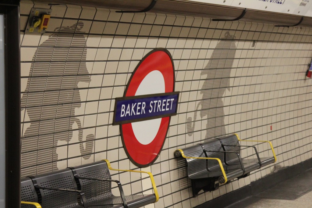
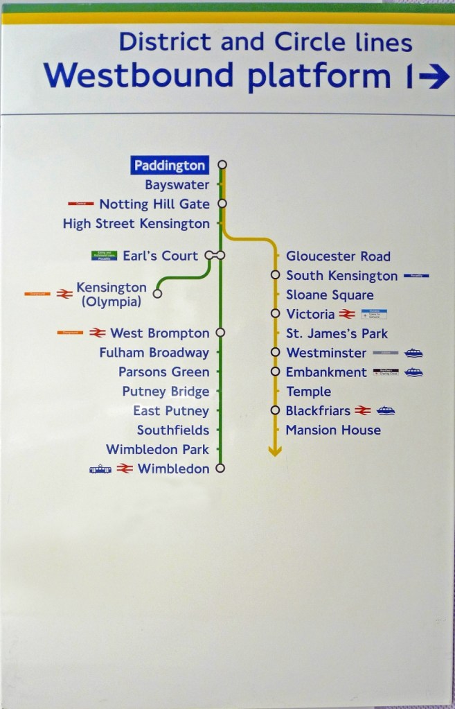
How to go from Paddington Station to see Big Ben and Houses of Parliament?
Locate Paddington Station on the map in zone 1 (central) upper left. It has several subway lines that connect to it. Then find Westminster. It also has several lines running to it. While your options can vary and could connect via 2-3 subway lines to Westminster the easiest would be to take the Yellow Circle line from Paddington station and ride it all the way to Westminster station. This is the easiest type of ride, in my opinion, as we don’t have to connect to another subway but rather get in, sit down and relax all the way to Westminster station. Because this line runs in a circle the map shows us going south before turning east to Westminster. Please take note of all the typical stops you will pass when heading to Westminster. (If you don’t see those same stops as you are riding the subway, then likely you are on the wrong one.) When walking down the hall to catch the train at Paddington station follow the signs directing you to the yellow line. Near the platform the hall will typically branch to each of the two platforms. Look for a diagram by each pathway as this will help you know that you are heading in the right direction.
In this case, we want platform #1 and Westminster will be the 9th stop on the circle line. Head down to the platform and wait for the yellow circle line train. Get on and you are on your way to Westminster!
Example 2
Travel from Paddington Station to St Paul’s Cathedral
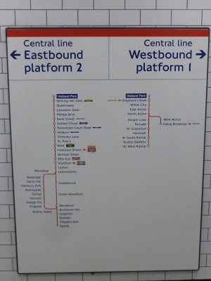
Again, I would start out on the Yellow circle line heading towards Westminster like above, but this time change trains at Notting Hill Gate (second stop from Paddington). Getting off the Circle line at Notting Hill Gate we head to the Red Central line and look for the platform that is heading to Epping station (the last stop for the Central line). Again, look for the diagram (this one is for Holland Park which is one stop from Notting Hill Gate but you will get the idea) and you can see that the eastbound subway on platform #2 is heading to St. Paul’s. Head down to platform 2 and when you see the train to Epping (last stop) arrive, get on the train. Ride the 9 stops (remember we are at Notting Hill Gate not Holland as in picture) to St. Paul’s station. Disembark and head up to the church!
It may seem a bit confusing the first 1-2 times you are navigating the system but, believe me, by day- 2 you will be a pro at zipping along using the London underground. This same type of rationale is used whether you are in London, Paris, Rome, Barcelona, Madrid, or New York.
When you are comfortable planning your ride, remember in most cities you can use Google Maps or other navigational apps to help you opt between taking the subway, bus or a combination of both to arrive at your destination as soon as possible. Many undergrounds have cell signal but some do not. It is always good to have a subway map available, just in case.
Hours of Operation
Most subways are operational from 5 am till midnight to 1 am on weekdays. Some are open later on the weekends but it is always best to know when they close. I have been delayed getting back from Birmingham to London only to arrive in London after midnight. All the subways were closed. Always leave some gas in your cell phone for calling a taxis or Uber ride if you are running late.
Don’t be afraid of using the metro, simply plan ahead and if, by chance, you get on the wrong train simply get off at the next station and go around to the other platform to head in the correct direction. I have messed up plenty of times and it only costs a 5-10 minutes wait for the next train. My daughter and I now laugh at some of our silly mistakes.

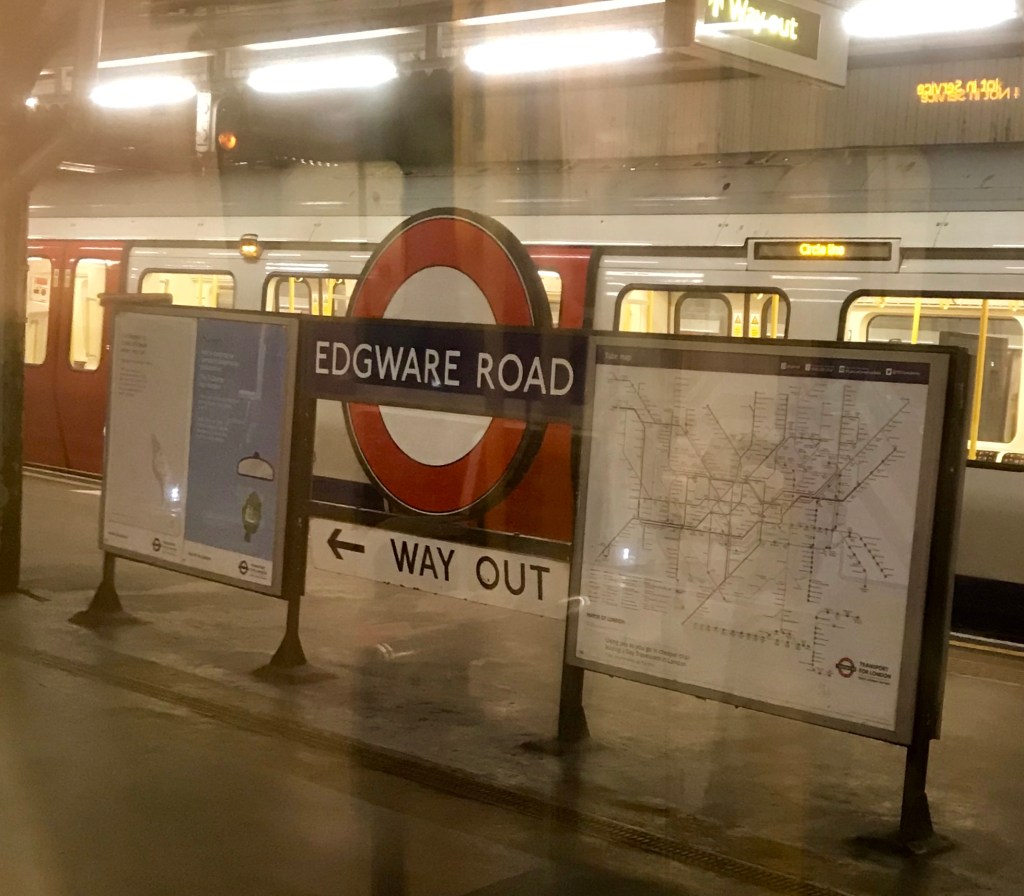
Look for signs for way out and convenient subway maps 
Looking at St. Paul’s Cathedral

I hope that this quick overview demystified taking the subway as for me this is one of the best ways and most inexpensive ways to travel across these busy cities. Please shoot me your travel questions, blog feedback, or any other comments.


Leave a comment